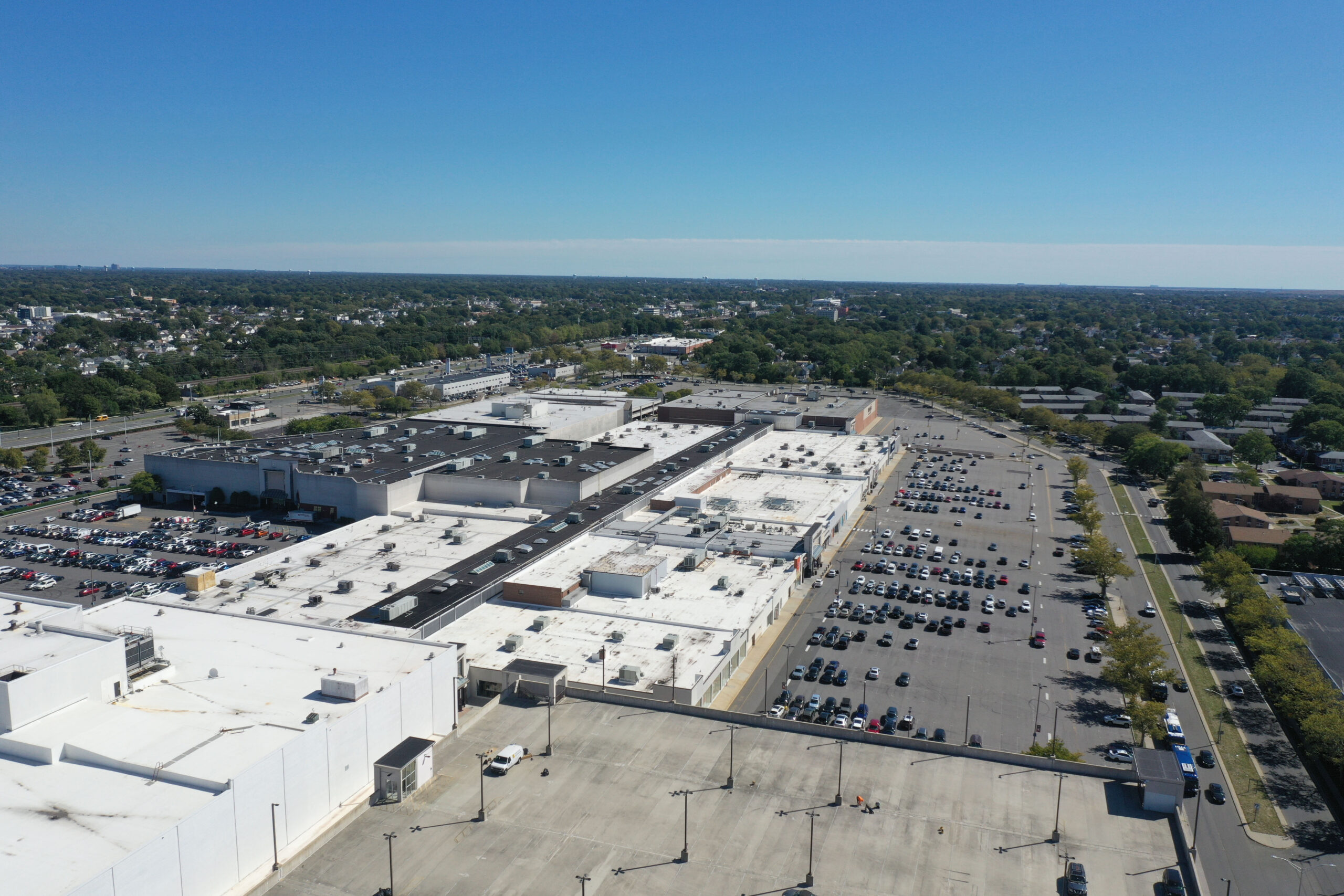
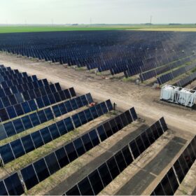
Urban rooftops offer inviting platforms for commercial and industrial (C&I) and community solar projects. At the same time, even so-called flat roofs on warehouses and big box stores have features and irregularities that require precise and time-consuming site investigation before design of a solar array can begin.
Many solar developers are turning to drone operators to not only investigate proposed solar sites more quickly but to also and use multiple sensors to obtain a fuller understanding of a given site’s characteristics and suitability for hosting solar.
Brooklyn-based Drone Drafting says it has completed over 4,000 project surveys across the U.S. representing mapping of over 2.5 GW of proposed solar capacity. Emmett Witmer, Drone Drafting’s director of operations, told pv magazine USA that a drone team can accomplish more in two hours than a survey team on foot can in a day and less expensively.
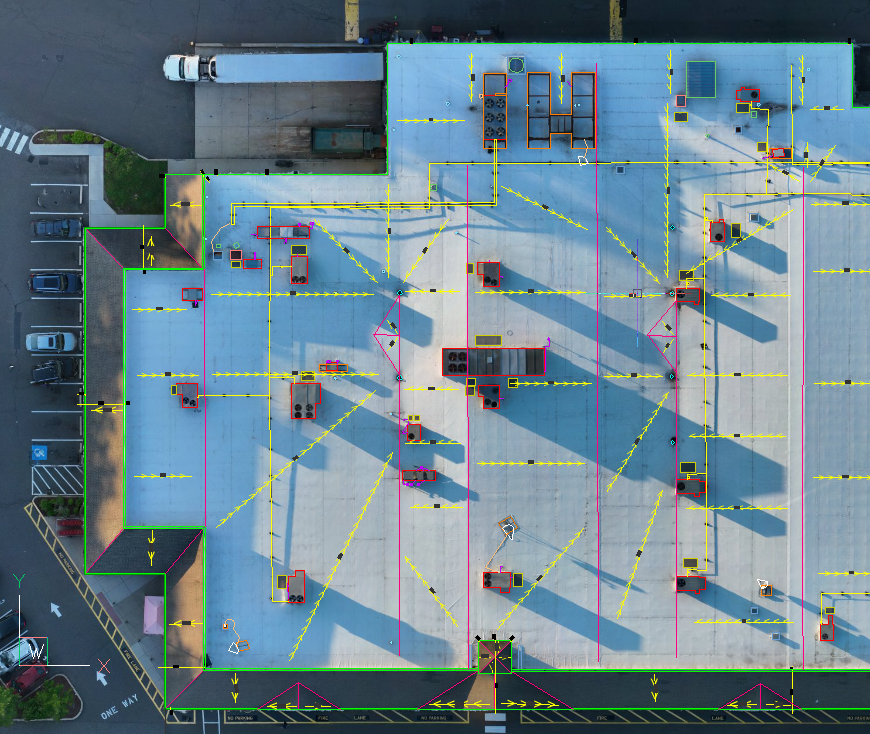
“These rooftops – even the flat ones, funny enough – are not all symmetrical,” he said. “There’s often a lot of differences. Sections have been built bits and pieces, maybe at different times. Moreover, surfaces can have all these weird undulations that naked eye surveys can miss.”
The drone quadcopters carry optical payloads that can survey sites using multiple sensors across the spectrum. Optical cameras, thermal imagers and laser-based lidar systems provide a complete representation of a proposed solar location, showing subtle surface variations, elevation of obstacles, signs of subsurface moisture and the presence of lines and hanging wires.
“They’re really granular data,” Witmer said of the images produced. “Software tools enable us to turn those into highly accurate orthomosaic maps. Our engineers use them to produce fully drafted 2-D and 3-D AutoCAD files.”
While C&I-scale rooftops are the Drone Drafting’s primary business, Witmer said it performs drone surveys for prospective carport solar projects and ground-mount arrays. These sorts of project sites have their own sets of complications, from shadows cast by surrounding structures or trees to terrain contours. These can all be readily revealed with multiple sensors with a drone’s eye view.
Drone Drafting founders got their start in aerial cinematography for documentary films and marketing videos. Shooting marketing footage for a solar project planted the idea of using drones for solar site surveys as part of the project development process. The company has its own done pilots and works with operators throughout the country, and in Europe and Asia as well, to expand the reach of its services.
“Who we use depends on location and the complexity of the site,” Witmer said. “The majority of the time we just have local pilots that we subcontract. If it’s a super technical or otherwise hard job we’ll use an in-house pilot so there’s easier communications and we can make adjustments on the fly.”
In addition to site mapping as an aid to project design and engineering, Witmer said the company is able to provide services throughout a project’s life cycle. Thermal cameras can detect hotspots in solar arrays and lidar can help evaluate growing vegetation and construction that might affect the site over time.
This content is protected by copyright and may not be reused. If you want to cooperate with us and would like to reuse some of our content, please contact: editors@pv-magazine.com.

By submitting this form you agree to pv magazine using your data for the purposes of publishing your comment.
Your personal data will only be disclosed or otherwise transmitted to third parties for the purposes of spam filtering or if this is necessary for technical maintenance of the website. Any other transfer to third parties will not take place unless this is justified on the basis of applicable data protection regulations or if pv magazine is legally obliged to do so.
You may revoke this consent at any time with effect for the future, in which case your personal data will be deleted immediately. Otherwise, your data will be deleted if pv magazine has processed your request or the purpose of data storage is fulfilled.
Further information on data privacy can be found in our Data Protection Policy.